
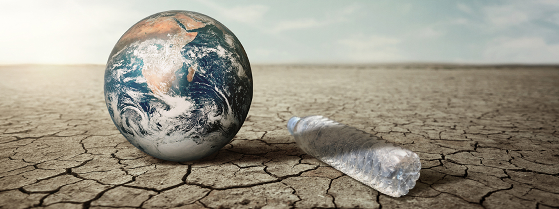
You have probably heard the word "El Niño" more times in the last few weeks than in your entire life. It is trending on the news, in WhatsApp broadcasts and in government advisories, and the headlines are not exactly calming: "Super El Niño," "record heat," "drought and floods." Behind the noise, though, there is real science and real risk, and Nigerians have good reasons to understand what is coming.
This guide explains what El Niño is, how strong the current event is, what it could mean for Nigeria, and the practical steps households, farmers and students can take to prepare. It also separates what experts actually know from what social media has exaggerated.
What Is El Niño?
El Niño is a natural climate pattern that begins in the Pacific Ocean, thousands of kilometres away from Nigeria. It occurs when sea-surface temperatures in the central and eastern tropical Pacific become warmer than normal, and it is the warm phase of the El Niño-Southern Oscillation (ENSO), which also includes the cooler La Niña phase and neutral conditions.
In simple terms, think of the Pacific Ocean as a giant heat engine that helps steer the world's weather. In normal years, steady trade winds push warm surface water towards the western Pacific. During El Niño, those winds weaken, and a large pool of warm water spreads eastward instead. That shift changes where clouds form and where rain falls, and the effects ripple across the atmosphere to places far from the Pacific, including Africa.
Scientists do not declare an El Niño casually. Forecasters declare one when the three-month average temperature anomaly in the relevant Pacific region exceeds 0.5 degrees Celsius above normal. The bigger the anomaly, the stronger the event.
Importantly, El Niño is not a storm, a disease or something anyone can "stop." It is a climate pattern that changes the odds of certain weather outcomes. It nudges rainfall and temperature in particular directions, but it does not decide the weather on any single day.
How Strong Is the 2026 El Niño?
Very strong, and possibly historic. The event has moved quickly through 2026:
- In April, the World Meteorological Organization (WMO) signalled that ocean temperatures in the equatorial Pacific were rising rapidly, pointing to a likely return of El Niño conditions as early as mid-2026.
- NOAA officially declared El Niño in June 2026 with an advisory, and its monitoring later showed the event already strong by early July.
- By mid-August, WMO described El Niño as firmly established, with forecasts showing a near-certain chance that it would persist through the end of 2026 and into early 2027, and strengthening to a very strong level before peaking near the end of the year.
- On October 8, NOAA's Climate Prediction Center said there was an 83% chance that the October to December reading would reach at least 2.5 degrees Celsius, a level that would exceed every El Niño in its records dating back to 1950.
- WMO's latest seasonal outlook indicates Pacific temperatures could run up to 3.8 degrees Celsius above average for November 2026 to January 2027, a figure WMO's Secretary-General said has never appeared in the agency's records, since even the strongest past events reached only about 3 degrees.
The takeaway is simple: forecasters are describing this as one of the strongest El Niño events they have ever observed. The peak is expected toward the end of 2026, but the effects will last well beyond that.
"Super El Niño": Official Term or Media Label?
You will see "Super El Niño" in many headlines, and even in advisories from Nigerian agencies. It is worth knowing that the label is informal. The term "Super El Niño" is a media creation and not an official category, according to a recent report, which noted that WMO simply describes El Niño as firmly established and rapidly strengthening.
That does not mean the event is harmless. It means the label is shorthand for "unusually strong." Experts caution that a stronger El Niño makes certain impacts more likely, not automatically more severe in every location.
Will El Niño Bring Drought or Floods to Nigeria?
This is the question everyone is asking, and the honest answer is: it depends on where you live, and it can be both.
Its effect on Nigerian rainfall is less predictable than in places like Peru, Indonesia or Southern Africa, and some areas could see dry spells while others see floods. A NiMet meteorologist has stressed that El Niño should not be treated as a precise local forecast, because Nigeria has its own weather systems, including the West African monsoon, which interact with El Niño to determine whether a place gets longer dry spells, reduced rainfall, heavy downpours or a combination.
What do we know so far for the current season?
- NiMet's August 2026 update confirmed the onset of a strong El Niño and forecast normal to above-normal rainfall across much of northern Nigeria for August to October, while parts of the South-West and Cross River State were expected to see normal to below-normal rainfall.
- The Famine Early Warning Systems Network reported cumulative rainfall deficits across the Sahel, including parts of south-western, north-western and north-eastern Nigeria, with dry spells of more than eight consecutive days between late August and September 20 in several areas.
- Rainfall deficits and dry spells have been reported in parts of Borno, Yobe, Kebbi, Sokoto, Bauchi, Gombe and Plateau.
A rainfall deficit is not the same as a declared drought. But it is a warning sign, especially for farming communities.
A senior NiMet meteorologist expects the effects to be worse in the north, where rainfall could fall and dry spells lengthen, with heat stress peaking between March and May 2027, and he cautions that some places may see long dry spells and sudden heavy rain in the same season.
Is El Niño Behind the Heat We Are Feeling Right Now?
Many Nigerians have noticed the sweltering days and sleepless nights lately. It is tempting to blame El Niño entirely, but the picture is more nuanced.
NiMet said in an October 23 advisory that reduced rainfall, thinner cloud cover and shifting wind patterns are letting more sunshine reach the ground, producing hotter days as Nigeria moves from the rainy season into the dry season. The agency said El Niño makes above-normal temperatures more likely, but its effect on Nigerian temperatures between August and October might not be significant.
In other words, the heat today is largely seasonal. The bigger worry is what happens next. Global temperatures usually peak a few months after El Niño itself does, so the hottest stretch could fall in 2027, around Nigeria's usual dry-season heat in February to April.
The Heat Risk: Why Health Experts Are Worried
Of all the possible impacts, extreme heat is the one drawing the most urgent warnings.
Researchers at the University of Chicago's Climate Impact Lab project that El Niño-linked heat could cause about 451,000 extra deaths worldwide between September 2026 and February 2027, with Nigeria projected to see the most of any country, at about 31,400. That projection was made in October 2026 and compares against an average year.
It is important to treat this number correctly. It is a model-based projection, not a prediction carved in stone, and it is exactly the kind of outcome that preparation can reduce.
Why is Nigeria considered so vulnerable? Heat stress can cause dehydration, heat exhaustion, heat stroke, breathing problems and heart complications, and a Guardian Nigeria editorial pointed out that the country has no coordinated national heat response and no public cooling shelters, while much of the economy depends on outdoor labour.
Those most at risk include:
- Children and infants
- Older persons
- Pregnant women
- People with chronic illnesses such as hypertension, diabetes or heart conditions
- Outdoor workers, including farmers, traders, bike riders, construction workers and market sellers
- People living in poorly ventilated or overcrowded housing
Harmattan, Dust and Meningitis
The dry season also brings the Harmattan, the dusty north-easterly wind from the Sahara. NiMet has not yet issued a dedicated 2026 to 2027 Harmattan outlook, so Nigerians should watch its November and December outlooks.
There is a health dimension to this as well. NiMet has warned that extreme heat combined with dust in the air could raise the chance of meningitis outbreaks in northern Nigeria, and people in the north should follow NCDC and state health ministry guidance.
Food, Farming and Prices
Agriculture is where El Niño's impacts often show up most painfully. Crops respond to rainfall over an entire season, so damage often appears months after the weather event itself.
Prolonged dry spells or an early end to the rainy season could reduce yields, while excessive rainfall may cause flooding and damage farms. Both outcomes are possible in different parts of the country, sometimes within the same season.
For ordinary Nigerians, the most likely effect is felt at the market: reduced harvests and disrupted supply chains tend to push food prices upward, particularly for staples. This is why preparation advice from emergency agencies keeps emphasising food storage and local farming.
Water and Electricity
Heat and reduced rainfall also strain essential services. NiMet says the agriculture, health, energy and water sectors are among those most likely to feel the effects, with risks of drought, flooding and erratic rainfall that could hurt food production.
Practically, that could mean:
- Lower water levels in wells, boreholes and rivers during the dry season
- Higher demand for electricity as people use fans, air conditioners and refrigeration
- Greater pressure on an already fragile power supply
What NEMA Is Telling Nigerians to Do
The National Emergency Management Agency (NEMA) has issued an advisory titled "Super El Niño Is Coming: What You Can Do to Protect Yourself, Your Family and Your Community." It warns that the phenomenon can cause hotter temperatures, less rainfall, drought, floods and food shortages, and outlines eight measures covering heat safety, water conservation, food storage and community action.
The agency has warned that the most intense heat is projected between January and February 2027, posing risks to public health, water availability and food security. Note that this differs slightly from NiMet's expectation of heat stress peaking between March and May, so Nigerians should treat the entire period from December to May as a high-risk window and keep following official updates.
Among NEMA's recommended measures:
- Limit exposure to peak heat. Limit outdoor activities between 11 am and 4 pm. Take regular breaks in shaded areas and schedule activities for early mornings or late evenings.
- Use water responsibly. Repair leaking pipes and store water in clean, covered containers.
- Secure your food. Store enough food for emergencies, support local and home farming, protect livestock and poultry, and make use of available agricultural support programmes.
- Stay informed and act early. Monitor official weather updates, heed early warnings, report emergencies to the relevant authorities and take part in community preparedness efforts, particularly those protecting children, older persons and other vulnerable groups.
A Practical Preparation Guide
Here is a plain-language checklist, built around what agencies recommend, that you can start using today.
For Households
- Hydrate early and often. Do not wait until you feel thirsty. Drink water steadily through the day, and limit sugary drinks and excessive alcohol, which can worsen dehydration.
- Keep your home cooler. Open windows for cross-ventilation at night, keep curtains closed during peak sun, and avoid cooking during the hottest hours where possible.
- Store clean water safely. Use clean, covered containers, and treat or boil water if you are unsure of its source.
- Build a modest food reserve. Set aside non-perishable staples such as rice, beans, garri, noodles and canned items, buying gradually rather than all at once to avoid panic-buying.
- Prepare a basic health kit. Include oral rehydration salts, paracetamol, a thermometer and any regular medication.
- Know the warning signs of heat illness. Heavy sweating, dizziness, headache, nausea and muscle cramps can signal heat exhaustion. Confusion, very hot dry skin, fainting or a very high body temperature can signal heatstroke, which is a medical emergency requiring immediate care.
- Check on neighbours. Older people and families with babies are most at risk, and a simple check-in can save lives.
For Farmers
- Follow NiMet's seasonal updates and agricultural advisories before planting decisions.
- Consider drought-tolerant and early-maturing crop varieties where available.
- Practise water-saving methods such as mulching and efficient irrigation.
- Protect livestock and poultry from heat stress with shade and clean water.
- Plan for both extremes, since dry spells and sudden heavy rain can occur in the same season.
For Students and Campus Communities
El Niño is not only a farmers' or villagers' issue. Students living in hostels, particularly in crowded rooms, will feel the heat too. Practical steps include:
- Study during cooler hours. Early mornings and late evenings are easier on the body than mid-afternoon in a stuffy room or hall.
- Carry water everywhere. A reusable bottle can make a real difference between lectures.
- Avoid long walks under the afternoon sun where possible, and use shaded routes.
- Take care in crowded halls and queues. Heat, crowding and long waiting times are a risky combination, so take breaks and seek shade.
- Keep hostel rooms ventilated and report water supply problems early.
- Watch for illness in roommates. If someone looks unwell, confused or faint, get help quickly.
- Follow university and health authority advisories and take the Harmattan season's dust and dryness seriously, including respiratory and skin care.
For Communities and Local Leaders
- Share verified information from NiMet, NEMA and health authorities rather than viral rumours.
- Identify shaded, cooler public spaces where residents can rest during extreme heat.
- Protect water sources and plan fair access during the dry months.
- Organise neighbourhood check-ins for vulnerable residents.
Myths and Facts
Myth: El Niño means drought everywhere in Nigeria. Fact: Impacts vary. Some areas may face dry spells while others experience heavy rain or floods, and sometimes both in one season.
Myth: The current heat is entirely caused by El Niño. Fact: NiMet attributes the present heat mainly to the seasonal transition into the dry season. The bigger El Niño-linked heat risk is expected later, into 2027.
Myth: The "31,400 deaths" figure is a certainty. Fact: It is a modelled projection that assumes an average response. Preparation, hydration, health awareness and community action can reduce harm.
Myth: "Super El Niño" is an official category. Fact: It is a media label, not an official scientific classification, though the underlying event is genuinely very strong.
Myth: Nothing can be done. Fact: El Niño cannot be stopped, but its impacts can be reduced through early, practical preparation.
Timeline at a Glance
- February 10, 2026: NiMet releases its seasonal outlook, based on largely neutral conditions.
- June 2026: NOAA declares El Niño conditions.
- August 13, 2026: NiMet confirms the onset of a strong El Niño.
- September 3, 2026: WMO reports near-certain persistence through February 2027.
- October 8, 2026: NOAA gives an 83% chance of record-level strength for October to December.
- Late October 2026: NEMA issues a public safety advisory.
- November 2026 to January 2027: Expected peak of the event.
- December 2026 to May 2027: High-risk window for heat in Nigeria, with NEMA pointing to January and February and NiMet pointing to March to May.
What to Watch For in the Coming Weeks
- NiMet's November and December outlooks, including any Harmattan forecast.
- State-level heat and health advisories from NCDC and state ministries of health.
- Water supply conditions in your community.
- Local food price trends, which can be an early signal of supply pressure.
Final Word
El Niño is real, it is strong, and it is not going away soon. But it is also not a reason for panic. The science is clear that it raises the odds of certain risks, especially heat, uneven rainfall and pressure on food and water, without dictating exactly what will happen in your street, your farm or your hostel.
The most useful response is calm, early preparation: stay hydrated, protect vulnerable people, store water and food sensibly, follow verified updates from NiMet, NEMA and health authorities, and look out for one another.
FUTO Central urges all students, staff and members of the wider community to take the El Niño advisories seriously, stay informed through official channels, and begin simple preparations now, before the heat peaks.



Comments 0
Join the conversation with verified FUTO students.
Verify your JAMB registration number to comment, like and reply.
Loading discussion...